Zaes delivers agile software engineering and consulting for the Department of Defense and enterprise clients. Great people, doing great things.
From full-stack development to enterprise architecture, we bring deep expertise across the entire software lifecycle.
Custom application development, COTS extensions, rapid prototyping, and full-stack engineering tailored to your mission requirements.
Application and enterprise-level architecture design including data-centric architectures that decouple data from applications, enabling interoperability, reuse, and mission-speed decision-making.
GIS development and sensor integration for federal and commercial geospatial applications, including C2 and mapping systems.
IT development program oversight with Certified Scrum Masters guiding agile delivery at every stage of the program lifecycle.
Subject matter expertise in DoD, C2 systems, geospatial intelligence, and MOSA-aligned platform development (Modular Open Systems Approach), delivering modular, open, and interoperable solutions for mission-specific consulting and requirements development.
Full-stack user experience design delivering intuitive, accessible interfaces for complex government and enterprise applications.
Seamlessly connect disparate systems and data sources across your organization's enterprise ecosystem and legacy infrastructure.
Automated CI/CD pipelines, infrastructure as code, and agile processes engineered to accelerate your delivery cycles.
Products designed, built and supported by the Zaes engineering team.
An agency-side record system for state, local, tribal and territorial counter-drone programs. Tracks Part 124 clocks, keeps an audit-ready trail, and prepares the post-operation and semiannual reports.
See AIRWARD → Open source · Mapping SDKEditable FM 1-02.2 and APP-6 tactical graphics for web maps as portable GeoJSON, with commercial add-ons for Cesium 3D, TAK, NVG and C2SIM exchange, and ArcGIS.
See Tactical Graphics → MIL-STD-2525E Appendix M · Early accessAll 354 weather and oceanographic graphics of 2525E Appendix M as GeoJSON on OpenLayers, MapLibre and Cesium, with an editor, official feeds, and WinTAK and ATAK plugins.
See METOC Graphics →
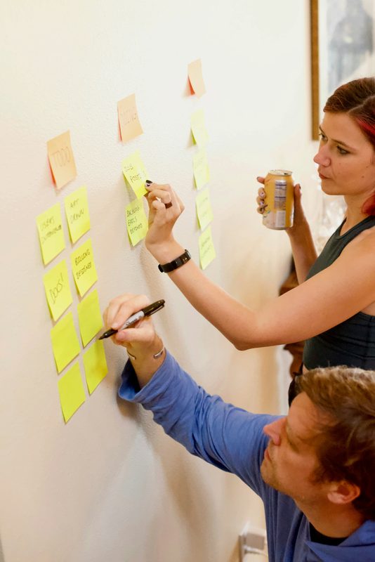
Founded in 2017, Zaes is built around talented, self-motivated professionals who thrive in remote environments. We believe that when great people are empowered to do their best work, exceptional results follow naturally.
We deliver agile software engineering solutions across the full development lifecycle from initial requirements analysis and rapid prototyping to production deployment and ongoing support. Our team includes Certified Scrum Masters and subject matter experts in DoD systems, C2, and geospatial intelligence.
We build long-term partnerships through honesty, transparency, and results. We never promise what we can't deliver, and we always deliver what we promise. Our clients trust us with their most critical systems because we earn that trust every day.
Four reasons our clients keep coming back.
Our personnel hold active DoD security clearances, enabling us to work on classified and sensitive government programs without interruption.
Certified Scrum Masters and proven agile processes ensure rapid, iterative delivery that adapts to evolving mission requirements on the fly.
Hand-selected engineers and consultants with deep domain expertise in DoD systems, geospatial technology, and enterprise software engineering.
We operate with radical honesty, clear communications, realistic timelines, and full accountability at every step of the engagement.
Ready to discuss your next mission-critical project? Reach out directly, we'd love to hear from you.
Chantilly, VA
Charleston, SC